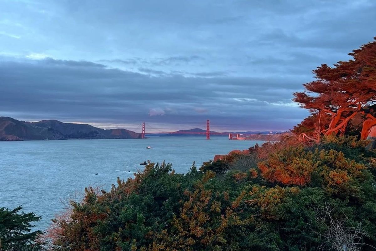
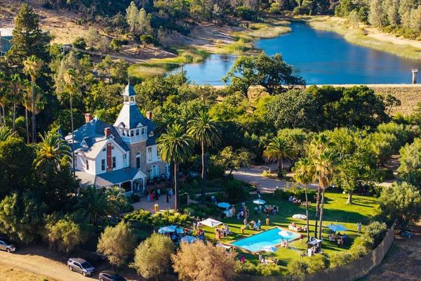
Since we made our first bucket list hiking tour back in 2022, it’s become an annual tradition at 7x7 to plan out the Northern California trails we hope to complete in the new year.
We’ve trekked across world-class parks like Point Reyes National Seashore, Yosemite National Park, and Pinnacles National Park, and traversed smaller Bay Area open spaces like San Jose’s Almaden Quicksilver County Park and Livermore’s Del Valle Regional Park—and it’s fair to say we’ve loved every sweaty mile.
So, let’s keep the party going in 2025. From the Bay Area’s tallest climbable peak, Mount Saint Helena, to beloved Golden Gate Park, join us on our bucket list hikes for the coming year.
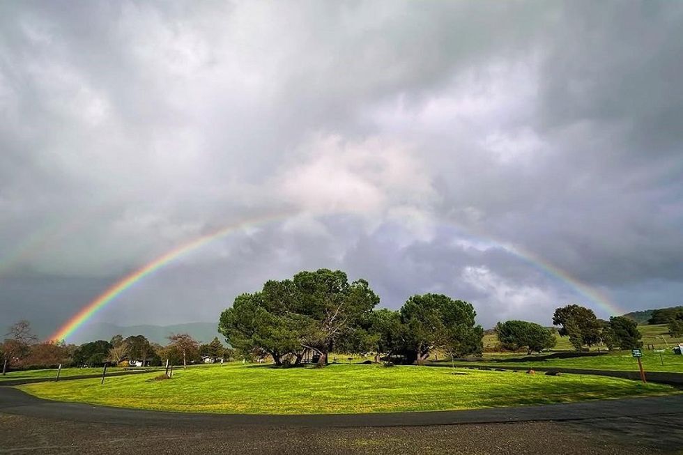
January: Skyline Wilderness Park, Skyline Park Perimeter (9.8 mile loop)
There’s no easing into this year’s bucket list. In January, you’re kicking things off with a kickass hike through Skyline Wilderness Park. The Perimeter Trail skirts the park’s edge through the Napa Valley foothills, past Lake Marie, and to the peak of Sugarloaf Mountain and its sprawling vineyard views. At almost ten miles in length and an elevation gain of 2,280 feet, it won’t be easy. But chances are this hike checks off a box or two on your list of New Year’s resolutions. Get your body moving and be grateful that you’ve made it to such a beautiful spot so early in 2025.
// 2201 Imola Ave. (Napa), skylinepark.org
February: Joseph D. Grant County Park, Yerba Buena to Halls Valley Trail (6.7 mile loop)
In February, Joseph D. Grant County Park is a lush, beautiful emerald set on the slopes of San Jose’s Mount Hamilton. The Yerba Buena to Halls Valley Trail is one of its best, with sweeping vistas of the Diablo Range and the iconic Lick Observatory. The 6.7 mile loop begins at Halls Valley Lake and climbs up into the rolling hills along the Yerba Buena Trail before turning onto Canada De Pala, then back to Halls Valley. To reach the trailhead, drive past the park’s main entrance and pull into the lot a few hundred feet up on the left side of the road near the lake.
// 18405 Mt. Hamilton Rd. (San Jose), parks.santaclaracounty.gov
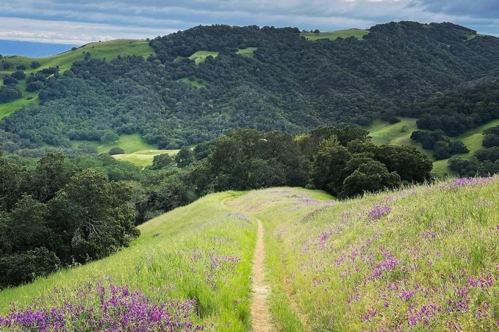
March: Morgan Territory Regional Preserve, Clyma to Condor Loop (7.8 mile loop)
You want wildflowers? Morgan Territory’s got wildflowers—bunches of them—and it’s in March that they begin turning their faces to the sun. This East Bay park is one of the most underrated in the whole Bay Area, and the 7.8 mile hike from Clyma to the Condor Loop has everything you could want, from wooded valleys to views that stretch for days. Start on the Clyma Trail and head clockwise around the rollercoaster-like loop accented with blooming fruit trees, colorful butterflies, and croaking frogs. The trail is likely to be pretty muddy in March so be sure to come prepared.
// 9401 Morgan Territory Rd. (Livermore), ebparks.org
April: Robert Louis Stevenson State Park, Mount Saint Helena Trail (10 miles out-and-back)
April, before the summer sun is unleashed and the wildflowers are still blooming, is the best time to level up your 2025 game and hit the Bay Area’s highest climable peak. This hike follows the Stevenson Memorial Trail (named for author Robert Louis Stevenson, who honeymooned here in 1880) for about a mile before turning on to the wide Mt. St. Helena Trail. It’s an intense five miles to the summit of but every time you take a break to catch your breath, those panoramic views will be there to keep you company.
// Robert Louis Stevenson State Park, 4824 Lake County Hwy #4774 (Calistoga), parks.ca.gov
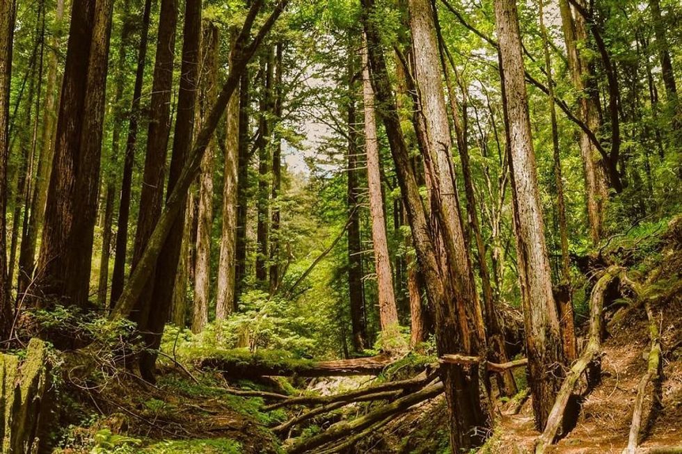
May: Henry Cowell Redwoods State Park, Fall Creek to Ridge Trail (4.2 mile loop)
The last two hikes have been pretty challenging so take it easy this month with a lovely 4.2 mile loop through the redwoods at Henry Cowell State Park. This trail in the Fall Creek Unit, on the opposite side of the main entrance and down a few hundred feet on Highway 9, is the classic Santa Cruz Mountains scene, with whispering creeks and gentle giants swaying in the breeze. Head counter-clockwise from the Fall Creek Fire Road to the Ridge Trail, following it around to the Cape Horn Trail then back onto Fall Creek’s South Fork. Parking can be tricky on weekends so arrive early to nab a spot.
// Fall Creek Unit at Felton Empire Rd. (Felton), parks.ca.gov
June: San Francisco Crosstown Trail (up to 16.9 miles point-to-point)
It’s been exactly six years since the San Francisco Crosstown Trail was opened to the public, a 16.9 mile route from bay to breakers, Candlestick Park State Recreation Area all the way to Lands End (you can go the opposite direction too but this way gets you incredible sunset views if you time things right). The point-to-point hike is one of the most intimate ways to explore San Francisco, passing through multiple neighborhoods and city parks, from Visitacion Valley and McLaren Park to Golden Gate Heights and the 16th Avenue tiled steps.Yeah, it’s a long one but because you’re in an urban setting, you can take breaks as needed to grab a bite or a cold drink along the way. If you’ve already done the Crosstown, try the 14.5 mile Double Cross Trail from Fort Funston to Pier 23, you’ll just need an alternate way around the section that goes through Twin Peaks, which is under construction and temporarily inaccessible.
// 500 Hunters Pt. Expwy (San Francisco), crosstowntrail.org
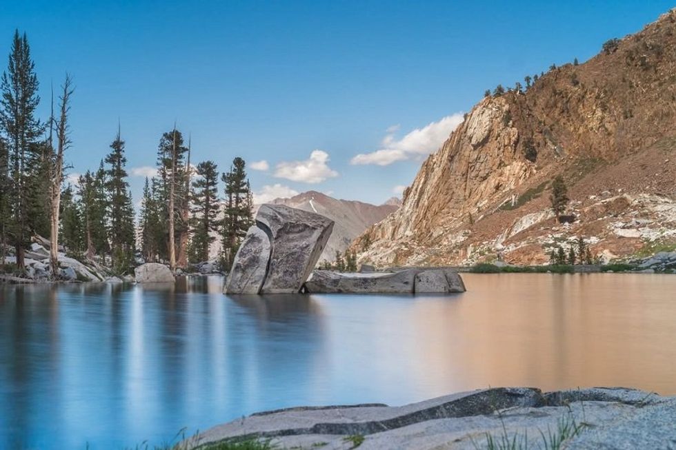
July: Sequoia Kings Canyon National Park, Eagle Lake (6.8 miles out-and-back)
It’s summer and that means the Sierra’s hiking trails are back in business. Instead of overcrowded Yosemite or Tahoe, head out to Sequoia & Kings Canyon where the seasonal crowds are a lot thinner but the landscape is just as otherworldly. This 6.8 mile out-and-back trip from Mineral King to Eagle Lake is one of the national park’s most spectacular, ultimately landing you 10,000 feet up at Eagle Lake. Hike along the White Chief Trail, past the unusual Eagle sinkhole, and on up through granite pillars and peaks to the alpine lake. Marmots call this place home so keep an eye out for their chubby, rodent antics, and for black bears, one of the park’s apex predators.
// Mineral King Rd. at Hwy 198 (Three Rivers), nps.gov/seki
August: Golden Gate Park, Blue Heron Lake + Strawberry Hill (2.3 mile loop)
When’s the last time you took a hike through Golden Gate Park? That’s where you’re headed this August, for a laidback, 2.3 mile loop around Blue Heron (formerly Stow) Lake and to the top of Strawberry Hill. The latter is an island at the water’s center, connected to the lake’s perimeter by bridges on the north and south sides. Walk around the lake, then cross one of the bridges and wind up the hill. Don’t forget to make a stop at the island’s Chinese peace pagoda-inspired Golden Gate Pavilion and the park’s first artificial waterfall, Huntington Falls, on your way back.
// 50 Stow Lake Dr. (Inner Sunset), sfrecpark.org
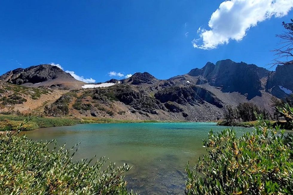
September: Mokelumne Wilderness, Woods, Winnemucca + Round Top Lakes (4.7 miles out-and-back)
September’s hike isn’t long—just 4.7 miles out-and-back—but it’s got some of the most epic scenery you’ll see all year. The Mokelumne Wilderness straddles three national forests (Stanislaus, Eldorado, and Toiyabe), a volcanic landscape of granite canyons and peaks. There are only a few alpine lakes in the Mokelumne and this hike passes three of them: Woods, Winnemucca, and Round Top. For a more gradual ascent, head clockwise along the Winnemucca Trail to the Camp Irene Trail and the edge of Round Top Lake. It’s a gorgeous spot to stop for a picnic and swim before taking the Round Top Lake Trail back down the mountain.
// 5519 Mokelumne Wilderness (Arnold), fs.usda.gov
October: Reinhardt Redwood Regional Park, Stream Trail via Skyline Blvd (5.7 miles out-and-back)
While the summer sun lingers, cool off with a hike in Oakland’s redwoods. Compared to some of the hikes you’ve done this year, this guy in Reinhardt Redwood Regional Park is a piece of cake: 5.7 miles out-and-back with some steep sections but only 682 feet of elevation gain overall. You’ll keep to the Stream Trail the whole time which, not surpisingly, runs alongside a creek for most of its length. The uphill comes in the hike’s second half so don’t waste all your energy at the start.
// 7867 Redwood Rd. (Oakland), ebparks.org
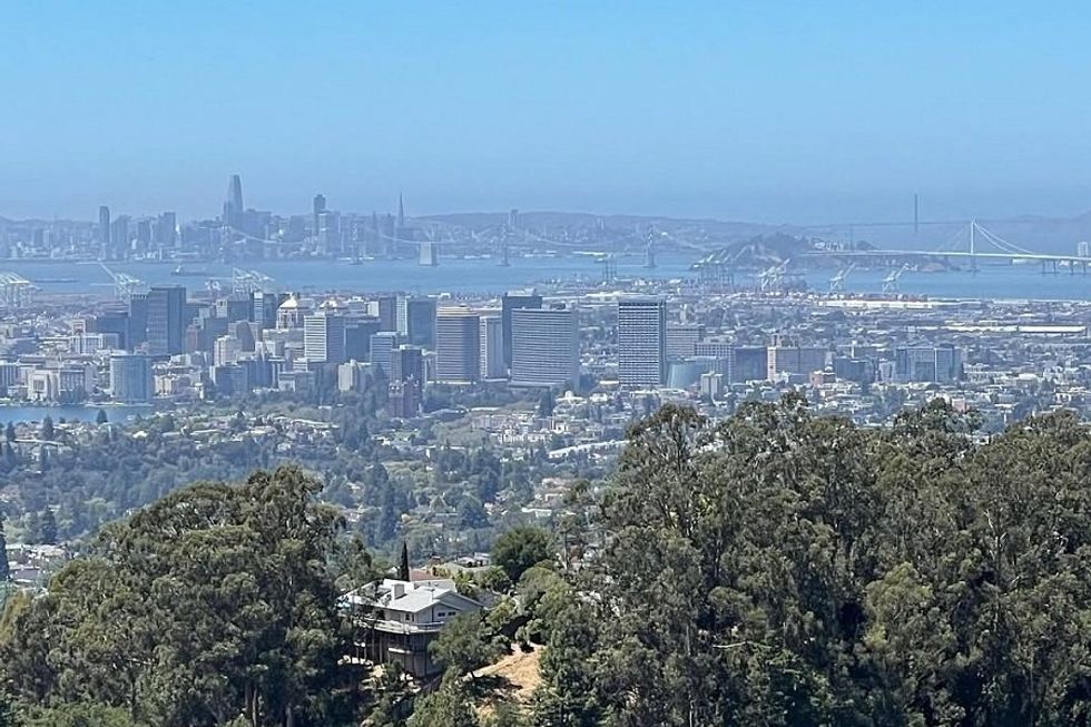
November: Joaquin Miller Park, Palos Colorados Sequoia Bayview (3 mile loop)
Before the holiday season’s official kickoff, make time for a quick hike close to home. This one at Oakland’s “jewel in the redwoods,” Joaquin Miller Park, is just three miles long but it’s got enough umph to clear out the cobwebs before another year barrels towards its end. Start at the Palos Colorados Trail and head uphill before curving around the loop to Sequoia Bayview. The trail is steep and has loose gravel in some places but you’ll be rewarded with a nice view of the bay at the top.// 3300 Joaquin Miller Rd. (Oakland), oaklandparks.org
December: Los Padres National Forest, Coast Ridge Road to Terrace Creek Trail, (8 miles out-and-back)
This trail up above Big Sur in Los Padres National Forest will give you a whole new perspective on the iconic coast. December, when wildfire season has come to a close (usually), is the perfect time for a hike. The eight mile out-and-back Coast Ridge Road to Terrace Creek Trail winds from low elevation redwood grove to the rugged peaks of the Santa Lucia Mountains. On a clear day, the views of forest and sea are all-encompassing and absolutely gorgeous. This trail has very little shade after you get out of the trees so be sure to bring plenty of water.// Coast Ridge Rd. (Big Sur), fs.usda.gov/lpnf


