Never heard of Port Costa— the tiny, hidden gem in the northern reaches of Contra Costa County? While seemingly off the beaten path, this gorgeous hike is surprisingly accessible.
How to Get There
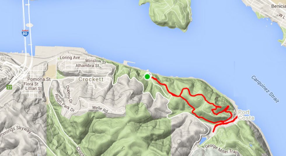
You'll walk into Port Costa from nearby Carquinez Strait Regional Shoreline Park, but, unfortunately, there is no practical way to get to the trailhead via public transportation.
1. Take the main Crockett exit (Pomona St.) off Hwy. 80 at the south end of the Carquinez Bridge.
2. At the stop sign, turn left onto Pomona and continue through Crockett.
3. After the town limits, the road becomes Carquinez Scenic Dr. (aka George Miller Trail).
4. At just over two miles turn left into the Bull Valley Staging Area and continue down to the lower parking area.
5. The Bull Valley Trail to Port Costa begins on the east side of the roundabout.
The Hike to Port Costa
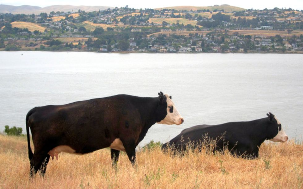
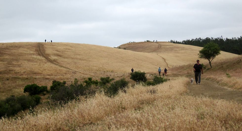
1. The trail, a former farm road, begins on a gentle grade. You’ll soon pass through a gate—remember to keep it closed as you'll most likely be walking amongst some grazing free range cattle. They seem oblivious to hikers and dogs alike.
2. The vistas of the Carquinez Strait open up as you ascend the ridgeline.
3. Shortly after you pass the upper parking area and entrance road, bear left on the Carquinez Overlook Trail to go around the hill in front of you (0.4 miles).
4. After 1.4 miles, as you exit the eucalyptus forest, admire the views of the eastern portion of the Carquinez Strait. Below lies the town of Port Costa, with left to right views of the town of Benicia, the George Miller Jr. Memorial Bridge (Hwy 680), and Mt. Diablo.
5. At the 1.6 mile point, the trail ends at Prospect Ave. Continue down into Post Costa.
The Town
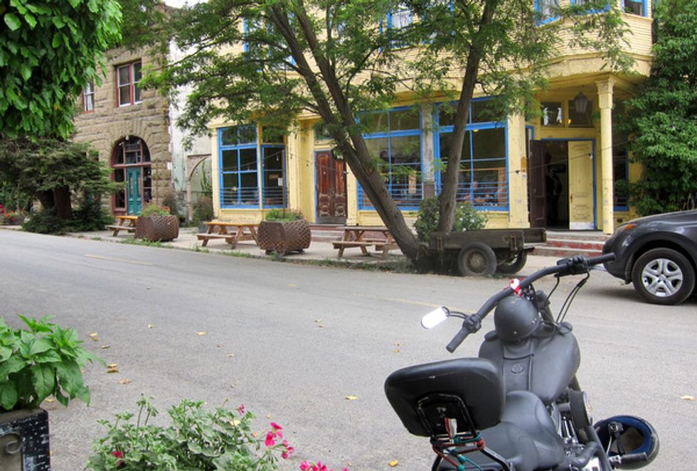
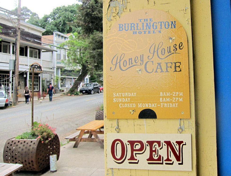
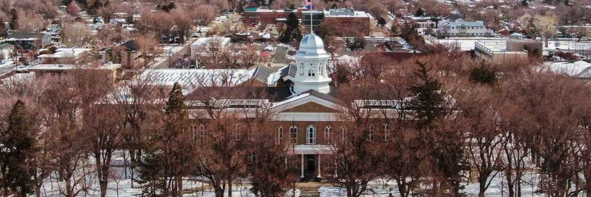
It’s pretty much a one street town, so turn left onto the main drag, Canyon Lake Dr., and amble down. There’s a few shops, the Burlington Hotel and Cafe, the Bull Valley Roadhouse, and the Warehouse Café and Bar (which claims to serve 450 types of beer). If time permits, head up Canyon Lake Dr. and take in the rest of the town, including the impressive Port Costa School.
The Hike Back to Bull Valley
1. For an easier climb back on your return, head back to Prospect Ave. and at the first bend take a left onto the Bull Valley Trail (it parallels Canyon Lake behind the houses).
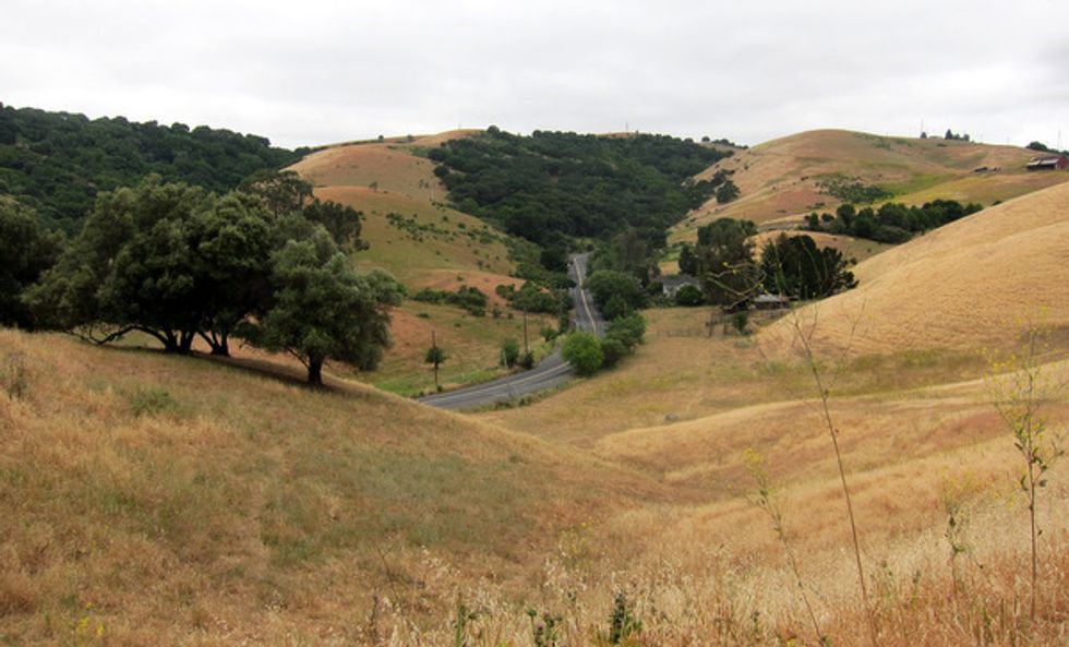
2. The gentle climb includes splendid views of the rolling hills beyond. Soon you’ll intersect with the Overlook Trail and get some more stunning views to the west of the Carquinez Bridge and Vallejo.
When you’re finished you’ll have hiked 3.5 miles (or more) and climbed about 550 feet.
A Little History
Port Costa was founded in 1879 as the southern landing for a railroad ferry across the Carquinez Strait from Benicia. Its importance and population diminished by the 1930’s when the Southern Pacific Railroad opened up a bridge to Martinez.
Other Things to Do Nearby
Crockett (aka Sugar City) is certainly worth exploring, and you’ll find a great spot for Sunday brunch at Dead Fish restaurant along with sweeping views. At the lower Bull Valley Staging Area is the Eckely Pier, open to fishing. More information about the Carquinez Strait Regional Shoreline is at East Bay Parks.


