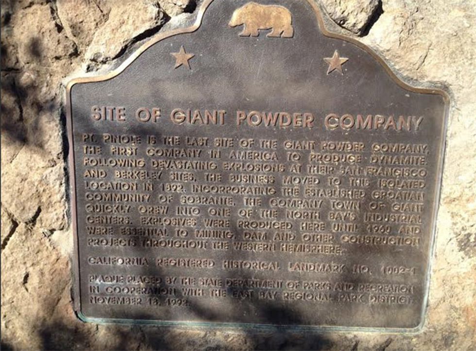
The Point Pinole Regional Shoreline owes its existence to explosives. More than a hundred years ago, black powder was produced in San Francisco for use in the gold mines of the Sierras. After numerous factory explosions, the manufacture of such substances was deemed too dangerous for populated areas and the companies were exiled to the East Bay – Albany, El Cerrito, and Point Pinole. A series of explosions in the late 1800s, and a particularly huge one in 1905 that killed 23 people in Albany, sent the companies packing again, this time to remote Point Pinole. The Giant Powder Company was the first arrive in 1892.
Consolidation with the industry, demand from South America and Asia, and the invention of dynamite lead to large scale production in Pinole and there is ample evidence throughout the park of the industry's impact on the area. Massive groves of Eucalyptus were planted and storage areas created to act as barriers for flying debris in the event of accidental ignition—at the time, railroad car wheels and rails were made of wood.
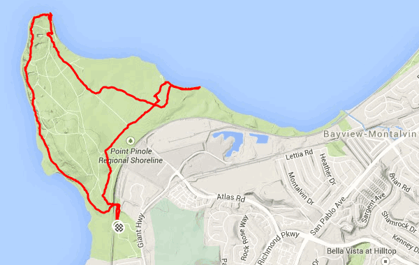
The 5.5-mile hike around the perimeter of the park’s 2,200 plus acres offers some of the best shoreline views to be had in this part of the North Bay.
What You’ll See:
Lovely groves of Eucalyptus, fantastic and varied Bay vistas, interesting historical sites as well as the opportunity for great exercise, be it running, hiking or riding a bike. This is an ideal dog walking area, most areas are off-lease and a great spot to fish for sturgeon off the pier.
How to Get There:
The Richmond Parkway provides access from I-580 and I-80.
1. Take the Giant Highway exit off the Parkway and head North.
2. Cross the railroad tracks and make an immediate right and proceed ½ mile to the park entrance. There is an admission fee if the kiosk is staffed. 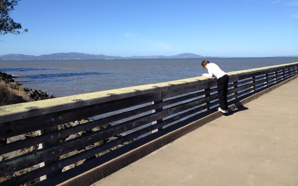
The Hike:
1. Head out from the parking lot and over the nearby railroad tracks on the bridge.
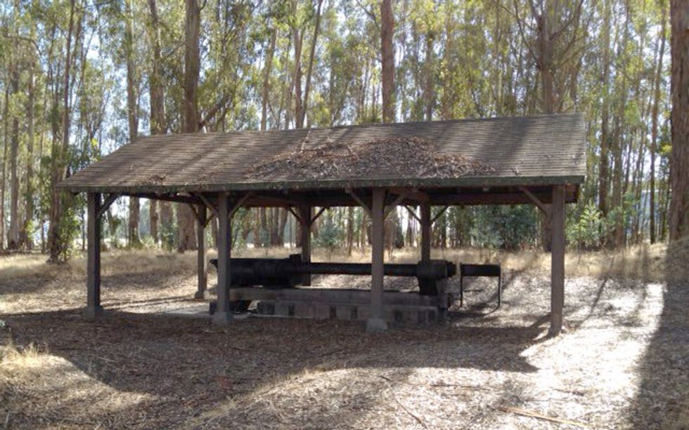
2. Stay on the paved path for .2 miles until you encounter the Cooks Point Trail. This will take you out to one of the more interesting relics, the Black Powder Press.
3. Then meander out to Cooks Point on the Marsh Trail, enjoying the views over to Pinole, Hercules, and the mountains above Napa. You’ll just be able to make out the tower of the Carquinez Strait Bridge peeking over the distant oil storage tanks.
4. Loop back around the Powder Press and rejoin the Marsh Trail as you head up to the fishing pier via the Owl Alley Trail. Public fishing is allowed from the pier although a State fishing license is required to fish along the shoreline. Restrooms are located here.
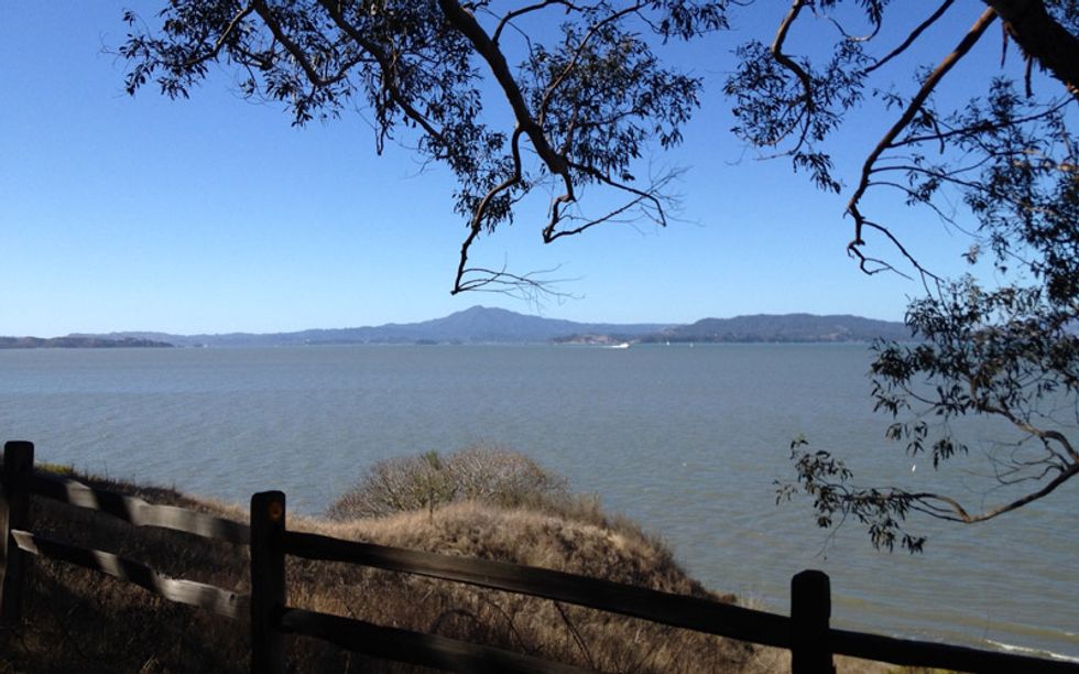
5. Head out to the left from the pier picking up the Bay View Trail as it skirts around the site of one of the former dynamite blast bunkers. You’ll be gaining a bit of altitude here, enhancing the views west of Mt. Tamalpais and the North Bay. You should see one of the Vallejo Ferry scurrying by or perhaps a cargo ship headed to Stockton.
After about ¾ mile the trail comes down to sea level and you have access to a couple of little beaches. Also note the Hayward earthquake fault runs parallel to the trail 200 yards off-shore.
While not strenuous, with only about 100 feet of elevation change, this hike does cover five plus miles. There is a daily van shuttle service out to pier, check the park website for details as well as a downloadable PDF map.


