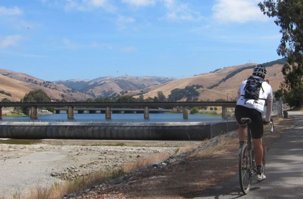
The weather looks to be mostly sunny and lovely in the East Bay this weekend. Why not take a gentle bike ride along the serene Alameda Creek Trail, which runs uninterrupted for 12 miles from Fremont to the San Francisco Bay.

Our ride begins at the eastern end, in Fremont, which means you're in for a slight uphill return (all of 200 feet), but you’ll have the wind at your back.
How to Get There
The trailhead is located in Fremont’s Niles Canyon.
1. From Hwy 880, head east on Hwy 84.
2. Exit Thornton Ave. then make a right on Fremont Blvd.
3. Turn left on Peralta Blvd. then left on Mission Blvd.
4. Make a right on Niles Canyon Rd., then another immediate right on Old Canyon Rd.
5. Park on the left, after crossing the creek.
From Hwy 680, head northwest on Mission Blvd. AC Transit options are bus routes 216 and 232 on Mission Blvd.
The Ride
1. Head west out of the staging area on the trail and enjoy the next 12 miles of uninterrupted travel. You will first encounter the many ponds of the Quarry Lakes Regional Recreation Area, a magnet for birds and bird watchers.
2. Alameda Creek’s seasonal wetlands make an appearance after crossing under Union City Blvd.
3. As you approach the bay, the Coyote Hills loom to your left.
4. Continue straight alongside the creek till you reach the end, taking in the marvelous views of the South Bay.
There are restrooms at the north side of the trail at Union City Blvd. Coyote Hills Regional Park has water as well as picnic tables. We suggest packing a lunch as there are no trailside dining opportunities.
Extend Your Ride
Tack on an extra four miles by taking the paved loop around Coyote Hills. Those willing to venture off-road can loop around the salt ponds by heading down towards the Dumbarton Bridge.


