There’s so much to appreciate on the Bay Area’s hiking trails. Redwood groves, ocean views, waterfalls, honestly we’ve got it all.
But sometimes the best hikes are the ones where you come across something you never even knew existed.
Hit one of these four Bay Area hiking trails and discover the unexpected.
Resolution Trail, El Corte de Madera Creek Preserve (5.4-mile loop)
(Courtesy of @delairious)
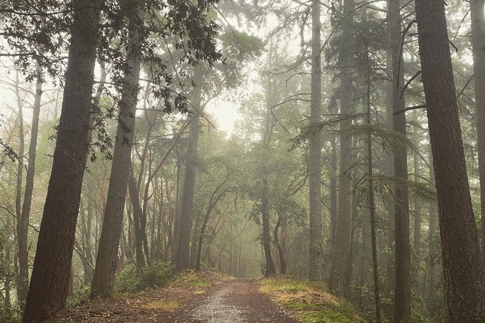
In 1953, a plane went down in the Santa Cruz Mountains. The most deadly aviation accident in the country’s history at the time, 20 years later the crash site was enveloped in a new 3,000-acre park, El Corte de Madera Creek Preserve. Named for the fated flight, the Resolution Trail careens for 5.4 miles through foothills shaded in evergreen and redwood. Start the clockwise loop at the Fir Trailhead near the Skeggs Point Parking Area. I won’t tell you exactly what’s there but you’ll find it between miles one and two. You’re not supposed to leave the trail and you definitely shouldn’t touch anything but a good, long look never hurts. // 15463 CA-35 (Redwood City), alltrails.com
Trails to the West Point Inn, Mount Tam State Park (5.6 to 8.8 miles)
(Courtesy of @westpointinn)
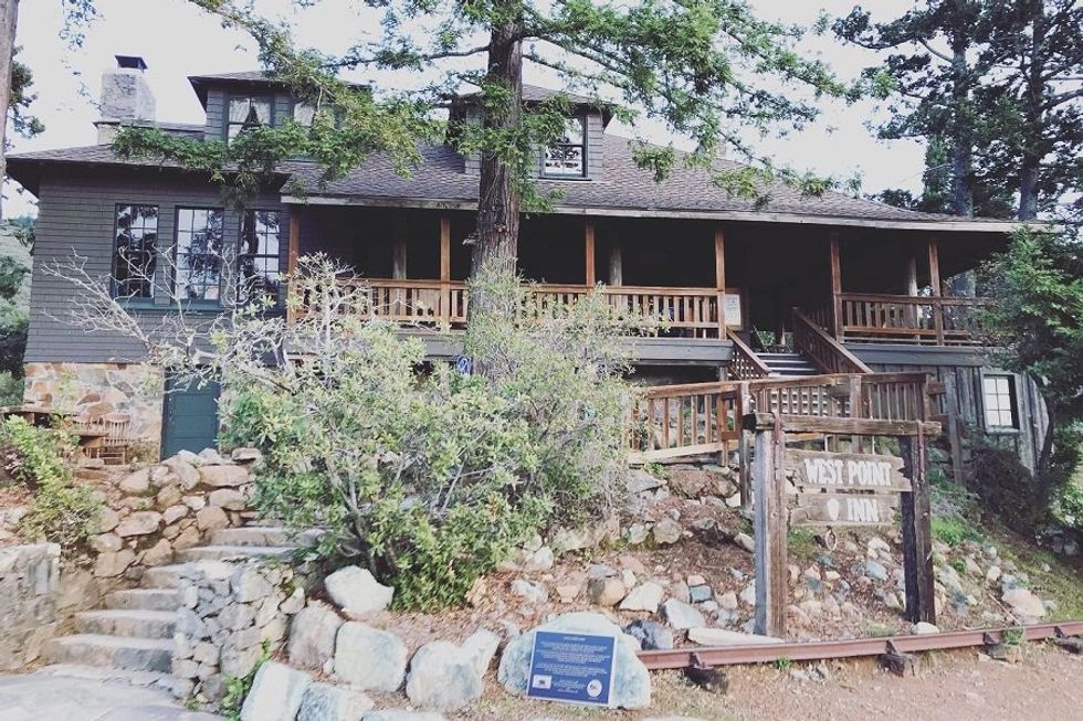
There’s only one off-the-grid inn in the Bay Area and only one way to get there (okay, technically two, hiking or biking). Built in 1904 as a stop on the “crookedest railroad in the world,” the West Point Inn rises from the summit of Mount Tam like a specter. Now run by volunteers, it’s the perfect spot for a mid-hike picnic on the 5.6-mile Railroad Grade Fire Road to Mt Tam West & West Point Inn Trail or the 8.8-mile Mountain Theater, West Point Inn, and Mount Tam Loop. Pick up the trail from the East Peak parking lot and check their events calendar before you go. You may be lucky enough to be swinging by on one of several dates they host their pancake breakfast in the sky. Better yet, stay the night. All you have to do is make a reservation in advance. // Old Railroad Grade Trail (Mill Valley), friendsofmttam.org
Crystal Springs to Pulgas Water Temple, SF Peninsula Watershed (5 miles out-and-back)
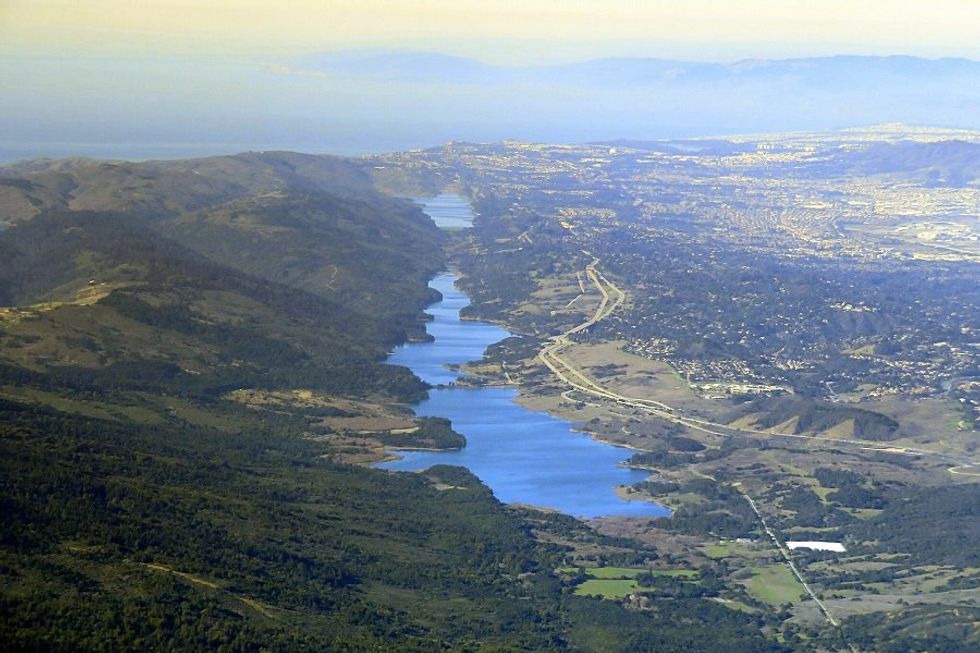
I’m the first to admit this isn’t exactly the most exciting hike in the Bay Area, but hear me out: There’s a surprise here I bet you’ve never even heard of before. Crystal Springs Reservoir, that beautiful pair of manmade lakes beside I-280 in San Mateo County, collects the water that gets piped to more than a million people. For 2.5 miles, the Crystal Springs Trail runs along its eastern edge, dipping in and out of scrub oak with reservoir views that do, indeed, sparkle like crystal. When you get there, the Pulgas Water Temple seems like a mirage, a Beaux Arts monument with fluted columns and Corinthian capitals straight out of another era. I’ll let you discover exactly what’s there and the history it represents on your own. You’ll find it open daily from 9am to 5pm. When you’re ready, go back the way you came for a total roundtrip of five miles. // Cañada Rd., alltrails.com
Fall Creek to Lime Kilns Trail, Henry Cowell Redwoods State Park (3.4-mile loop)
(Courtesy of daikiki/CC)
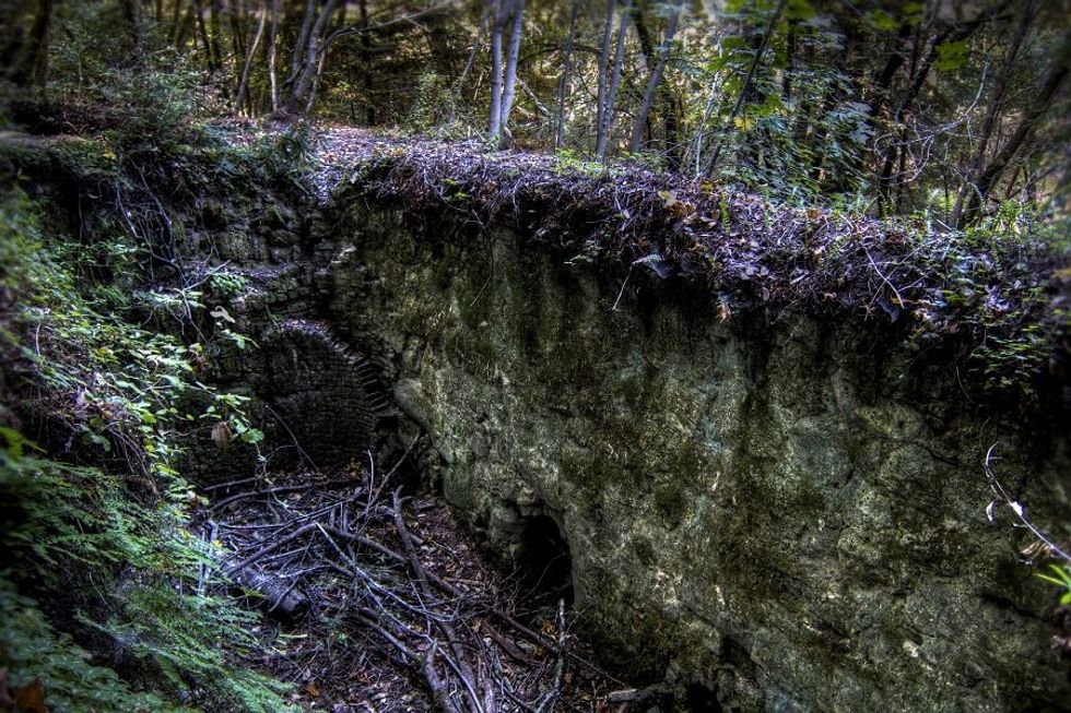
When Gold Rush fever sent California’s population soaring in the mid-19th century, producing mortar and plaster for buildings was big business. The epicenter of the state’s industry was in Santa Cruz and there are still a few of the hulking stone-built kilns in which the lime was made. The ruins of the largest kiln of all are still out there in the redwoods, slowly being reclaimed by the forest. It’s less than two miles through the Fall Creek Unit of Henry Cowell Redwoods State Park to get there on the 3.4-mile Fall Creek to Lime Kilns Trail lollipop loop, but you’ll have to figure out exactly where the kiln is on your own. // 860 Felton Empire Rd. (Felton), parks.ca.gov


